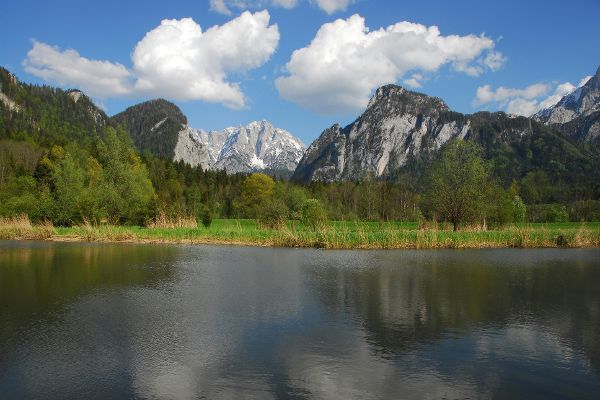
Scenery of protected areas in Austria

Forests in areas protected under nature and water conservation law.
Natural landscapes and semi-natural cultivated landscapes with a high value for securing biodiversity cover more than one third of Austria’s national territory. In addition to the areas that are protected generally, about 25 % of the Austrian territory is covered by protected areas decreed by law. Types of protection areas like ”nature conservation area”, “landscape protection area” and areas of the EU’s Natura 2000 network of protected areas (“European protected area”) are widespread in Austria.
Various other types - altogether there are 14 different types of areas protected under nature conservation law with varying degrees of protection - are limited to one or more Federal Provinces and have more or less influence on forest management.
In water conservation areas, too, there are provisions concerning agricultural and forestry management. For each of these protected areas, concrete regulations are set out in specific ordinances.
There are thus a number of nature conservation and water protection instruments for the conservation of endangered forest habitat types, special landscapes and for the protection of soil and water. In this context is a nationwide compilation of the protected areas of all nine Federal Provinces that are based on nature and water protection law is of particular interest.
In this project of the Federal Environment Agency (“Umweltbundesamt” the protected areas designated under sovereign law in Austria (conservation areas) were analysed and documented in databases in a standardised way according to nature conservation and water protection regulations concerning forestry and agricultural (only for the Federal Provinces of Burgenland and Vorarlberg) management. At the same time, the forest shares were calculated by means of GIS analysis and an assessment with regard to their biodiversity protection status was carried out based on the criteria of Forest Europe.
Furthermore, protected areas are presented by means of a web GIS in order to support, among other things, the design of the support programme within the framework of rural development (EU) in the authorities.
The project was carried out with the support of the Federal Government, the Provinces and the European Union within the framework of rural development.